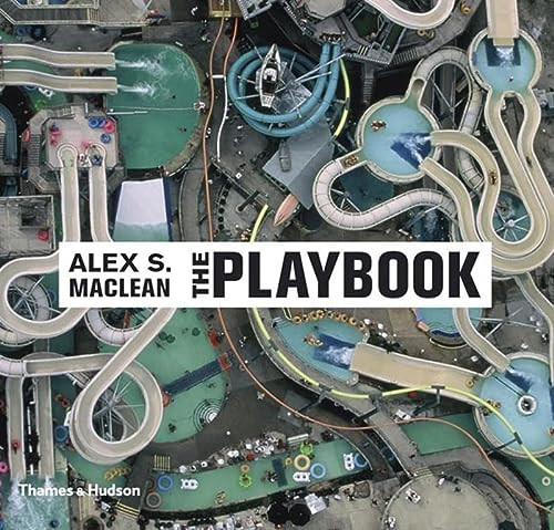
Published by Thames & Hudson in 2006, Alex S. MacLean’s The Playbook turns aerial photography toward the designed spaces of American recreation. Its subjects include sports stadiums, theme parks, beaches and picnic grounds—places usually experienced from within, amid movement and distraction. Seen from the air, they become legible as arrangements of geometry, circulation, density and color.
MacLean brought to the project more than three decades of photographing the American landscape, as well as the spatial awareness of a trained architect engaged with questions of landscape preservation. That background gives these photographs a double register. They are animated records of leisure, but they also examine how land is partitioned and organized for collective pleasure. Symmetrical stadiums, looping attractions and patterned gatherings of people disclose the planning decisions beneath apparently spontaneous recreation.
The book’s 80 color illustrations emphasize MacLean’s ability to hold description and abstraction in balance. Human figures remain present, yet the elevated viewpoint compresses their activities into larger systems of form. The resulting pictures can be read as social documents, landscape studies and a graphic vocabulary of contemporary land use. Their exhilaration is inseparable from a quieter question: what kinds of environments are produced when leisure becomes an object of large-scale design?
An introductory text by Susan Yelavich places the photographs within a broader consideration of design. For collectors of aerial photography, American landscape work or studies of the built environment, The Playbook deserves attention as a concentrated statement within MacLean’s practice. Rather than surveying the nation indiscriminately, it isolates recreation as a revealing category—one through which architecture, planning, public behavior and visual pleasure converge.