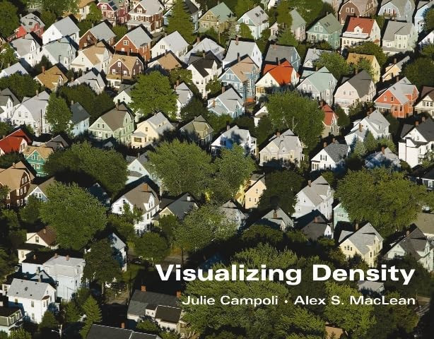
Published by the Lincoln Institute of Land Policy in 2007, Visualizing Density brings together landscape architect Julie Campoli and aerial photographer Alex S. MacLean to examine a subject that is often discussed numerically but seldom understood by numbers alone. Across 160 pages, the book asks how residential density appears on the ground—or, more precisely, from above—and how visual evidence can clarify debates about land use and city planning in the United States.
MacLean’s aerial photographs form an extensive comparative catalogue of inhabited landscapes. Their purpose is not simply illustrative: the images help connect measured density with the way density is perceived. Seen in relation to one another, different settlement patterns allow readers to grasp how varied living arrangements can occupy and organize land. The elevated viewpoint makes density tangible as spatial form rather than leaving it as an abstract statistic.
Campoli places this photographic material within a practical and argumentative framework. The volume includes an essay on the density challenge facing the United States as well as an illustrated guide to planning and designing more effective forms of density. It addresses planners, designers, public officials, and citizens, linking residential development to questions of energy use, public and private cost, and environmental consequence. Photography thus becomes an instrument for civic understanding rather than a decorative supplement to policy.
For a photobook collection, Visualizing Density is notable for the precision of this collaboration between image-making and landscape analysis. It occupies a productive position between aerial-photography survey, urban reference work, and design manual. Its significance lies in showing how a sustained body of photographs can establish a common visual vocabulary for a disputed planning concept—one whose physical expression changes markedly from place to place. Collectors concerned with the built environment, American land use, or the documentary applications of aerial photography will find its disciplined combination of visual comparison and public argument especially relevant.