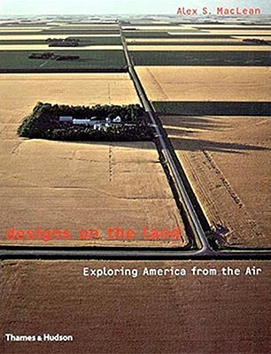
Aerial photography captures the vast and varied American landscape in Exploring America from the Air. The images emphasize patterns in natural formations, human settlements, and infrastructure, offering a unique vantage point on the interaction between nature and development.
The book presents a structured visual exploration that highlights contrasts between urban and rural areas, coastlines, rivers, and mountain ranges. The elevated perspective invites reflection on scale, geography, and environmental impact across different regions of the United States.
Published in 2003, this extensive volume spans 368 pages and provides a comprehensive overview suited for readers interested in geography, landscape design, and aerial imaging.